
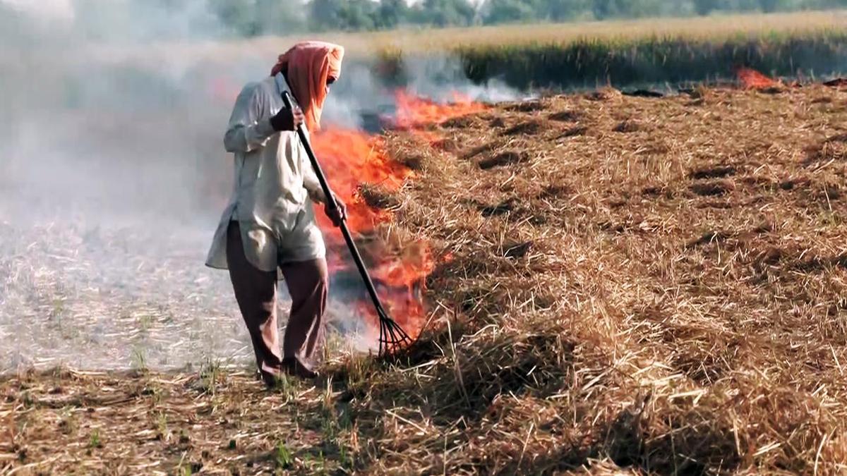

A man seen burning stubble in a field, in Amritsar
| Photo Credit: ANI
The story so far:
Paddy harvesting has picked up momentum in Punjab, the country’s key grain-producing State, and so have stubble burning incidents. This year, stubble burning has been relatively fewer because the State faced one of its worst floods in decades, leaving vast stretches of farmland inundated. Close to the autumn season every year, paddy stubble burning is considered to be one of the contributing factors of air pollution across the country’s northern region, including New Delhi. The paddy crop, harvested using combine harvester machines, leaves behind a stubble of stalks. To destroy this stubble, the farmers consider setting the crop residue on fire the most ‘effective’ method, as they need to prepare the fields for sowing the next winter crop. The short time window between paddy harvesting and wheat sowing — roughly three weeks — is a key reason why farmers resort to stubble burning.
Are stubble burning incidents declining?
The governments, including the State and the Centre, have claimed that incidents of paddy stubble burning have significantly declined over the years, thanks to a range of measures, including stricter enforcement, access to subsidised machinery for crop residue management. Punjab government data, based on satellite aggregation, shows that in 2024, there were 10,909 cases of farm fires in the State, compared to 36,663 in 2023, marking a 70% decline.
While Punjab has reported a significant drop in farm fire incidents since 2021, the total area scorched by these fires has largely expanded. Satellite data from the Punjab Remote Sensing Centre and the Punjab Pollution Control Board show that in 2024, the area under ‘residue burning for paddy’, which gives a relatively stronger sense of farm fire menace, stood at around 19.17 lakh hectares, compared to around 19.14 lakh hectares in 2023.
In 2022, it was nearly 15.40 lakh hectares, while in 2021, it was approximately 15.60 lakh hectares.
Why do the data differ?
Although the number of stubble fire counts has significantly declined, experts believe that the total burnt area could have increased for several reasons. Fire count measurements often miss smaller, low-intensity, or partial burns.
Farm fire incidents in Punjab, and in other States as well, are recorded by satellites using thermal imaging based on temperature differences. A recent study conducted by the Indian Institute of Science Education and Research, Mohali, published in Science of the Total Environment, highlights several limitations of satellites in collecting fire emissions. The study notes that satellites like MODIS and VIIRS pass over the region only a few times a day, and since most fires are lit in the late afternoon or evening, many events are missed. Haze or clouds can obstruct satellite detection of fires, leading to underreporting. Moreover, north-west States have small landholdings, and farmers often burn crop residue in fragmented, short-duration fires, which are harder for satellites to detect compared to large-scale forest fires. The study also points out that farmers are increasingly aware of satellite monitoring and may cover up burnt areas before the next satellite overpass.
Senior scientist and Professor Ravindra Khaiwal at Environmental Health, Department of Community Medicine and School of Public Health in Chandigarh-based Post Graduate Institute of Medical Education and Research, points out that burnt-area estimation has become more precise with advancements in remote sensing. He says, “While thermal sensors may miss fires due to heat signal blockage, optical sensors like Sentinel-2 can identify post-fire discolouration and burn scars, providing a more accurate assessment of the total burnt area.”
What is the way forward?
Asserting that for accurate assessment of incidents, fire data should be generated by integrating thermal and optical satellite observations and validated through systematic ground verification through ground surveys, Dr. Khaiwal says: “increased burnt area does not necessarily imply higher stubble burning ‘emissions’. Many of these burns are low-intensity, partial, or short-duration fires, releasing relatively less particulate matter and gaseous emissions compared to widespread fires. Hence, emissions must be assessed using fire intensity, fuel load, and duration, not burnt area alone.”
Published – October 24, 2025 08:30 am IST