

The exercise will involve deploying vehicles equipped with advanced sensors and data acquisition systems, including a 3D laser-based system, a global positioning system and an electronic device that measures an object’s acceleration and angular velocity. File
| Photo Credit: The Hindu
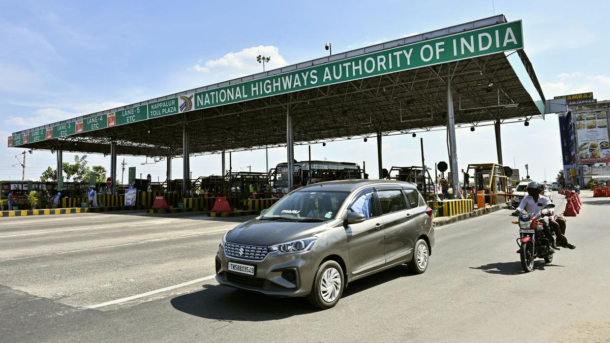
In order to identify road defects, including potholes and cracks on road surfaces, the National Highways Authority of India will deploy advanced sensors and data acquisition systems across 23 States, covering a distance of over 20,000 km in order to take corrective action.
The move is being undertaken to improve the riding experience of commuters, a statement by the NHAI said.

The data collected by the Central government agency in-charge of developing and maintaining National Highways will help with the inventory of roads and the condition of their paving in order to make decisions on maintenance, asset management, infrastructure planning, and improving the safety and efficiency of the country’s National Highways network across the country.
The exercise will involve deploying vehicles equipped with advanced sensors and data acquisition systems, including a 3D laser-based system, a global positioning system (GPS), and an electronic device that measures an object’s acceleration and angular velocity.
“The data collected will be uploaded on the NHAI’s AI (Artificial Intelligence)-based portal Data Lake, where it will be analysed by a dedicated team of experts at NHAI to transform data into knowledge and subsequent actionable insights. Finally, the data collected at regular intervals as per Government of India guidelines shall be preserved for future technical purposes in Road Asset Management system in prescribed formats,” the NHAI said.
Also read: NHAI to install QR code signboards with project-specific information on National Highways
The data shall be collected for all projects involving two- to eight-lane highways. The data collection will start before road development work starts, and thereafter, with a gap of six months. The NHAI has also invited bids for the project.
Separately, the NHAI has also been identifying “black spots” based on the accident reports received from the concerned State governments, which is based on the occurrence of a certain number of accidents involving fatalities and grievous injuries.
Of the 13,795 black spots identified on the National Highways in the country until March 2025, long-term rectification has been completed on 5,036 black spots.
The Electronic Detailed Accident Report (e-DAR) project is a central repository for reporting and managing road accidents data.
Published – October 22, 2025 10:09 pm IST